
Embracing Technology to Manage Our Transportation System
Smart Mobility is where technology and transportation come together to improve how people move through Alexandria. By leveraging real-time data and intelligent systems, the City is making travel faster, safer, and more efficient. See the FY 2026 Smart Mobility Work Plan for more details.
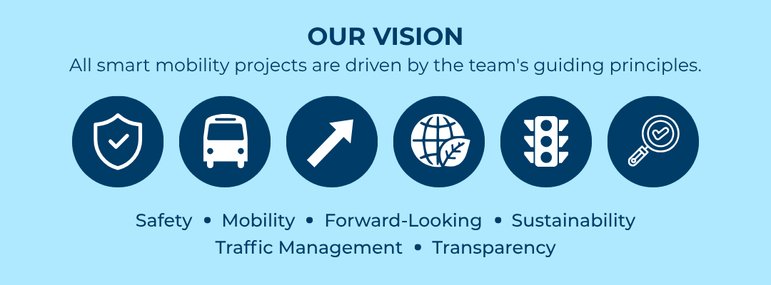
Pillars of Our Smart Mobility Work (Click to Learn More)


Welcome to the Smart Mobility Map Viewer
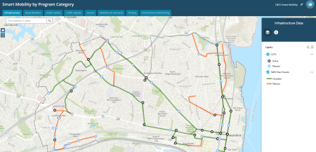
The Smart Mobility Viewer is divided by Program to follow the City's Smart Mobility Framework. Across the top you will find a tab for each program category. Click on each to find what data and technology is being implemented throughout the city.
CLICK THE MAP
Innovation Spotlight
Smart Mobility Lab Launches in 2025
In 2025, the City of Alexandria took a bold leap into the future with the launch of the Virginia Tech Smart Mobility Lab (SML), powered by funding from the National Institute of Standards and Technology (NIST). Located in the heart of Alexandria, the SML is set to become a hub for cutting-edge transportation research and innovation. This game-changing investment kickstarts advanced technology development to attract top industry partners and drive real-world smart mobility solutions. From secure data exchange and adaptive lighting to smart intersections and connected mobility hubs, the SML is positioning Alexandria as a national leader in the future of transportation.
SMART Grant Fuels Real-Time Roadway Maintenance Project
The City of Alexandria, with funding from the SMART Grant, is partnering with VTTI to test “Smart Detection” cameras and sensors to create a real-time inventory of roadway assets that supports proactive maintenance and data-driven decision-making.
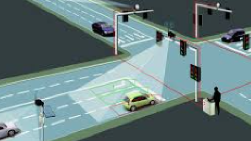
Smart Intersection Pilot
In collaboration with the Virginia Tech Transportation Institute (VTTI), Alexandria studied safety trends and traffic patterns at the corner of Potomac Avenue and E Glebe Road. This pilot, which concluded in Fall 2024, deployed three different devices at the intersection to detect near misses and turning movement counts. After one year, Alexandria was able to compare the effectiveness of each device and quantify the safety and efficiency of the intersection.
Smart Mobility Resources
Find key documents that guide Alexandria’s Smart Mobility efforts.
- Alexandria's Mobility Plan has been incorporated into the City's Master Plan by City Council, and includes a chapter on Smart Mobility
- The Smart Mobility Framework summarizes the many programs that fall under the Smart Mobility Program and how they tie together.
- The Community Presentation provides a high level overview of the Smart Mobility philosophy and work.
- Smart Mobility Pilot Projects shares details about active efforts to explore technology before scaling it.
- Smart Mobility FY 2025 Annual Report and FY 2026 Work Plan
- Smart Mobility FY 2024 Annual Report and FY 2025 Work Plan